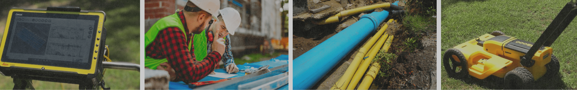

When it comes to Ground Penetrating Radar (GPR), the quality of your results depends on more than just the equipment — it also depends on what’s beneath your feet. Soil properties and moisture levels play a major role in how radar signals travel and how clearly subsurface features can be detected.
At GPR Arkansas, we know that understanding soil conditions is the key to accurate subsurface imaging and data interpretation.
GPR works by sending high-frequency radio waves into the ground and recording the reflections that bounce back from buried objects or changes in material. However, not all soils allow radar waves to move equally well.
Two main soil properties affect how radar signals behave:
Different soil types have unique effects on GPR results:
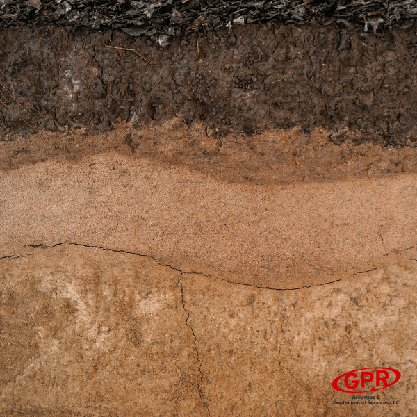
Before performing a GPR survey, knowing the soil type and its condition helps determine:
By evaluating these factors ahead of time, GPR Arkansas ensures reliable, high-quality data that supports better decision-making for your project.
While soil conditions can affect GPR performance, experienced technicians know how to adjust scanning parameters, interpret complex signals, and combine GPR data with other site information to achieve accurate results.
Whether you’re mapping utilities, investigating concrete, or performing environmental assessments, GPR Arkansas has the expertise and technology to adapt to your site’s soil conditions and deliver dependable data every time.
From sandy soils to clay-heavy conditions, GPR Arkansas understands how to get the best results no matter what’s underground. Our team combines local soil knowledge with advanced radar systems to ensure precision, clarity, and confidence in your results.
📞 Contact us today to learn how we can tailor your GPR survey for the most accurate readings based on your site’s unique soil conditions.