
GPR Arkansas used GPR cemetery mapping to help better understand what lays below the surface of their grounds and give clues into the past of Central Arkansas’ oldest cemetery.
Cemetery officials wanted to convert a grassy area near a mausoleum into additional burial sites.
Before proceeding with their plans, GPR Arkansas had to confirm that the area did not contain unmarked graves or other objects, such as buried utility lines. Because GPR can investigate the underground world without digging, excavating, or disrupting the surface, it is a very effective way to survey sensitive sites, such as the cemetery grounds.

GPR can detect soil that has been disturbed because of:
Historical cemeteries can frequently present interesting and unique challenges. Misplaced or poorly marked grave markers are very common in older cemeteries. There are often no visible signs of exact burial locations at the surface level. Before the mid-1800s, only wealthy and affluent families could afford headstones. This means that many unmarked graves are likely present in countless cemeteries. Grave markers may have sunken, shifted, or been incorrectly positioned over the years.
Additionally, many historical burial sites have missing or inaccurate records, making creating a cemetery plot map without GPR difficult. The most common way that cemeteries maintained information in the past was by tracking through paper records. Unfortunately, records could be lost, misplaced, or destroyed over the years. It is not unusual for records to lack uniformity and to contain vague or incomplete information.
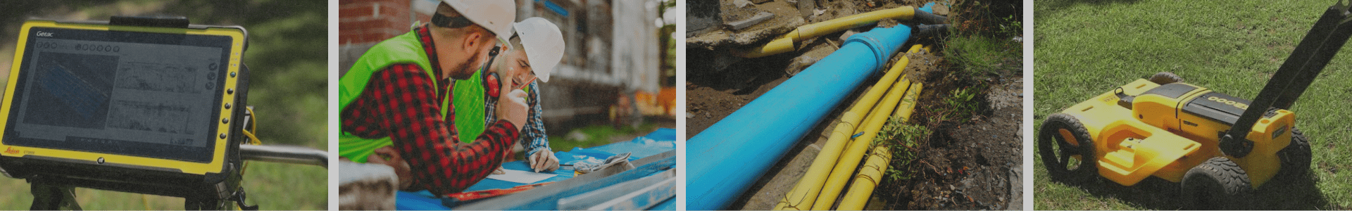
Operators initially guide a GPR cart over the area to be mapped. The GPR cart is roughly the size of a push lawnmower.
The GPR system sends electromagnetic pulses into the ground, which then bounce back to a receiver on the cart. By manipulating the frequency and timing of the signals, the system creates a detailed “picture” of what lies beneath the surface. Using GPR technology, we can interpret information about the material type and the subsurface items’ depth and position.
Learn more about ground-penetrating radar.
For cemeteries struggling with incomplete or possibly inaccurate records, GPR can:
Armed with the knowledge of what lies below the surface, cemetery owners can make safe and ethical decisions about the future of what appears to be available sites on the surface. Working with an accurate cemetery plot allows Cemetery Operators to expand and further develop the limited available land confidently. Ground penetrating radar offers a window into the past, uncovering the well-kept secrets of the cemetery grounds. GPR can provide you with peace of mind by ensuring that you account for and can effectively utilize every inch of space in the cemetery.
Need Ground Penetrating Radar for your business? We’re ready for any commercial jobs in the state of Arkansas! Give us a call today.