
Ground-penetrating radar (GPR) is a revolutionary tool used to detect what lies beneath the surface. Its applications range from construction to archaeology. While GPR is often associated with locating utility lines and pipes, its capabilities extend far beyond the ordinary. In this article, we’ll explore the range of objects GPR can detect, focusing on its […]
Read More
Land surveying can be hazardous depending on where the land needs to be searched. Mountainous regions are probably the first thing that comes to mind when considering hazardous terrain. Other job hazards with land surveying are weather, busy cities, and highways. Using drones is the newest way to minimize hazards on the job site. Benefits […]
Read More
News stories about sinkholes can be terrifying. Holes open in the earth, swallowing streets, cars, lawns, and homes. Do you worry about potential impacts on your property? Ground-penetrating radar (GPR) can help locate underground sinkholes. What is a sinkhole? A sinkhole is a void, hole, or depression in the ground caused by a collapse of […]
Read More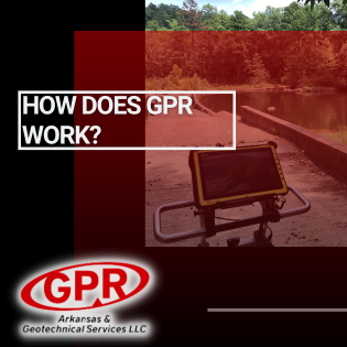
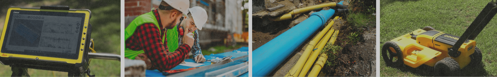
How Do You See What’s Beneath the Surface Without Digging? Ground Penetrating Radar (GPR) is a non-destructive technology that uses high-frequency radio waves to create a visual “map” of the subsurface. This method allows professionals to identify objects, voids, utilities, and other underground features quickly, safely, and without excavation. How GPR Works During a GPR […]
Read More