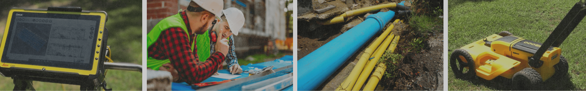

Land surveying can be hazardous depending on where the land needs to be searched. Mountainous regions are probably the first thing that comes to mind when considering hazardous terrain. Other job hazards with land surveying are weather, busy cities, and highways. Using drones is the newest way to minimize hazards on the job site.
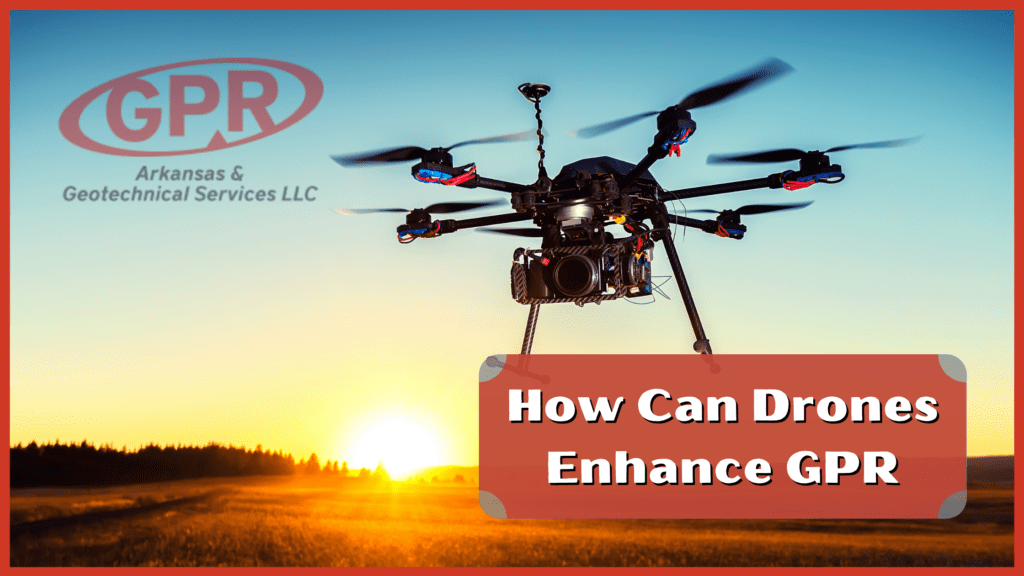
Drones that download the same ground-penetrating radar software as our normal surveying tools can monitor the terrain through a monitor. The drone is programmed to search a precise area using a grid. Once all the land has been observed, the technician can transfer the data onto a ground unit. The drones can fly at low altitudes but can survey just as deep as an average GPR unit.
Using these robots for surveying is a more versatile way to inspect the land. Looking at the land with drones can vastly increase the range of access. Surveying crews couldn’t access many areas with the old systems that were used, but now, the same area is easily accessible with drones. Drones make surveying mountains, busy highways, and flooded areas easier. Surveying is also safer. Technicians can remotely survey the land without being in a potentially hazardous area. Also, Ariel radar decreases the risk of accidents or injuries in the work zone.
Aerial surveying can deliver additional resources that are helpful in the planning and development phases. High-definition images and aerial views of terrain or urban areas are some things that are now available with this new technique.
If you have any questions about ground-penetrating radar, contact GPR Arkansas for more information. So, for more information about how we can help complete your project accurately and on time, contact our team by filling out an estimate request.